
What Are Blue and Red Flood Lines in Pune? What You Can Build Near the Mula-Mutha, Explained for Home Buyers
Blue flood lines mark a 25-year flood, red lines a 100-year flood. What the prohibitive and restrictive zones mean in Pune and how to check a property.
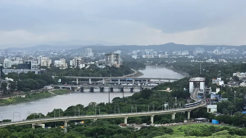
Photo: NINU KARTHIKA TUSHARLibranradar1 / CC BY-SA 4.0, via Wikimedia Commons
Last updated: 22 November 2026
Quick answer: In Pune, the blue flood line marks the level a flood is expected to reach about once in 25 years, and the red flood line the level of a flood expected about once in 100 years. Land between the river and the blue line is a no-construction zone. Land between the blue and red lines allows building only with conditions.
These lines matter now because Pune’s flood lines are under review, and a six-month CWPRS study of the Mula and Mutha is under way.
Blue line vs red line
- Blue flood line: a flood with about a 4% chance of happening in any year, or roughly once in 25 years.
- Red flood line: a bigger flood with about a 1% chance in a year, or roughly once in 100 years.
The lines are drawn by the state’s Water Resources (Irrigation) Department after hydraulic studies and are shown on development plans. As the NGT has noted, the land between the two lines is a restrictive zone where building is allowed only under conditions.
Prohibitive zone: river to blue line
The strip between the river bank and the blue line is the prohibitive zone. Under Maharashtra’s rules, it can be used only as open land, for example:
- gardens, lawns and playgrounds
- parking and open vegetable markets
- crematoria and burial grounds
New buildings are not allowed here. The NGT has repeatedly directed that there be no encroachment or new construction inside the blue line of the Mutha.
Restrictive zone: blue line to red line
The strip between the blue and red lines is the restrictive zone. Construction is allowed, but the plinth of the building has to be raised above the red flood line level, and other conditions apply. If part of a plot falls in a no-build area, the FSI of that part can often be used on the rest of the plot.
Why Pune’s flood lines are being questioned
The Mutha river’s blue and red line maps were prepared in 2011. After a Bombay High Court direction in 2024, the state asked the Maharashtra Engineering Research Institute (MERI) in Nashik to review them. Its findings raised questions about the lines, and the Pune Municipal Corporation has now asked CWPRS to study flood flows before the riverfront project goes further. Read our report on the CWPRS Mula-Mutha flood study.
If the lines move, some plots could fall inside a zone they were outside before, or the reverse.
How to check a property near the river
- Ask the builder for the approved plan showing blue and red lines, if the river is nearby.
- Check the PMC or PMRDA development plan for your survey number.
- Ask whether the building’s plinth is above the red line level, and get it in writing.
- Remember that low-lying areas along the Mula, Mutha and Ambil Odha flooded in 2019.
This is general information, not legal advice. For a specific property, consult a lawyer or licensed architect.
Frequently asked questions
What is the blue line in Pune?
The blue flood line marks the level of a flood expected about once in 25 years. No new construction is allowed between the river and this line.
What is the red line near rivers in Pune?
The red flood line marks a flood expected about once in 100 years. Between the blue and red lines, building is allowed only with conditions such as a raised plinth.
Can I buy a flat between the blue and red line in Pune?
Construction there is allowed with conditions, but check the approved plan, the plinth level and flood history before buying.