Lohagad Fort Trek Guide: Route From Malavli, Vinchu Kata, Bhaja Caves and History of Shivaji’s Treasury Fort
Lohagad near Lonavala is one of the easiest fort treks from Pune. A guide to the Malavli route, Vinchu Kata, Bhaja caves, history and safety tips.
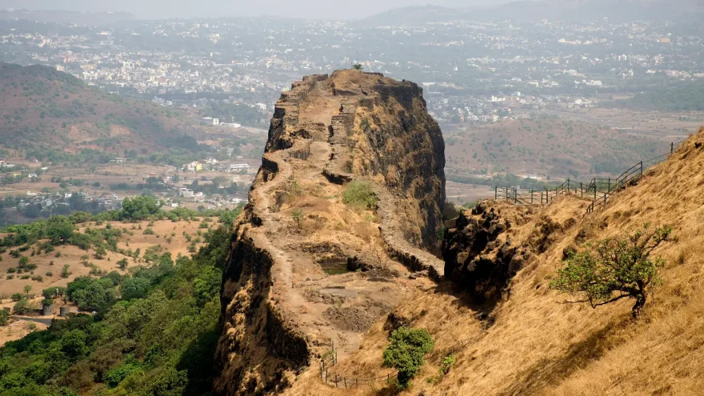
Photo: Rangan Datta Wiki / CC BY-SA 4.0, via Wikimedia Commons
Last updated: 20 November 2026
Lohagad, the “iron fort”, stands above Malavli near Lonavala and is one of the most popular beginner treks from Pune. The climb is short, the views are wide, and the route passes the 2,000-year-old Bhaja caves.
Quick facts
- Height: 1,033 m above sea level
- Location: Near Malavli, about 52 km northwest of Pune
- Nearest station: Malavli on the Pune-Lonavala local line
- Known for: Vinchu Kata, the scorpion-tail ridge
- Neighbour: Visapur Fort, on the same range
History of Lohagad
According to Wikipedia’s history of the fort, Lohagad’s early construction is linked to rulers in the 10th century.
Shivaji Maharaj captured it in 1648 but had to hand it to the Mughals in 1665 under the Treaty of Purandar. He took it back in 1670 and used it to store his treasury, which is why it is often called his treasury fort.
Later, Nana Phadnavis lived here for a time and built a large tank and a step-well that still stand.
The trek from Malavli
The most common route starts at Malavli railway station:
1. Walk from Malavli across the expressway towards Bhaje village.
2. Pass the Bhaja caves turn-off.
3. Climb to Gaymukh khind, the saddle between Lohagad and Visapur.
4. Take the stone steps up through the fort’s gates to the top.
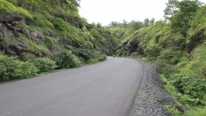
The walk from Malavli to the top takes about two hours at an easy pace, according to Wikipedia. A tar road also reaches close to the base from the Malavli side, so some visitors drive up to the khind and climb only the final steps.
What to see at the top
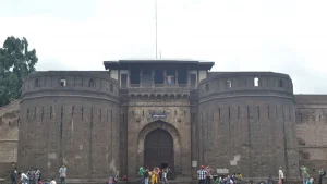
- The gates: A series of large gates on the steps, typical of Maratha fort design
- Vinchu Kata: A long, narrow fortified ridge to the northwest, named for its resemblance to a scorpion’s tail
- Tanks and step-well: Water storage built by Nana Phadnavis
- Views: Pawna lake on one side and the Malavli valley on the other
Bhaja caves on the way
The Bhaja caves are 22 rock-cut Buddhist caves from the 2nd century BCE, protected by the Archaeological Survey of India. The main chaitya hall is among the earliest surviving in India. They are a short detour from the Lohagad path, and the Karla caves are a short drive away.
Best season and safety
Lohagad is most popular in the monsoon, but the steps and rock get slippery, and weekend crowds can be heavy. Winter, from November to February, is drier and safer for families.
- Wear shoes with good grip.
- Stay away from the edges of Vinchu Kata, especially in mist.
- Carry water, and bring your plastic back down.
- Start back well before sunset.
How to reach from Pune
Take a Pune-Lonavala local train and get off at Malavli. By road, take the old Mumbai-Pune highway to Malavli, then follow signs to Bhaje and Lohagad. For other options, see our forts near Pune guide.
Frequently asked questions
How long is the Lohagad trek?
From Malavli station, the walk to the top takes about two hours at an easy pace.
How high is Lohagad fort?
Lohagad is about 1,033 m above sea level.
What is Vinchu Kata at Lohagad?
It is a long, narrow fortified ridge on the fort, named because it looks like a scorpion’s tail.
Which station is nearest to Lohagad?
Malavli, on the Pune-Lonavala suburban line.