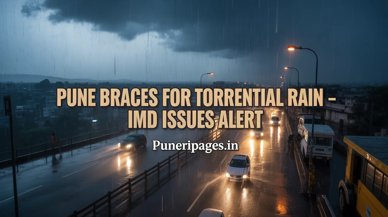
Visual representation of Pune's current weather scenario with torrential rains and IMD's yellow alert in effect. For detailed updates and safety guidelines, visit puneripages.in.
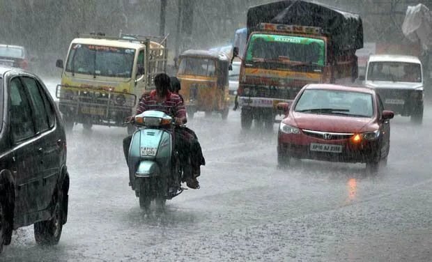
The India Meteorological Department (IMD) has issued a yellow alert for Pune, forecasting persistent torrential rainfall expected to last until at least May 30, 2025. This unrelenting wet spell is primarily fueled by cyclonic circulations over the Marathwada region and the Arabian Sea, intensified by a developing low-pressure system near the Karnataka coast. Pune has already recorded 60.7 mm of rainfall this season—32 mm above average—causing waterlogging, traffic congestion, brief power outages, and significant daytime temperature drops (Shivajinagar 34.8 °C; Lohegaon 36.9 °C).
Table of Contents
1. Meteorological Drivers of the Torrential Rains 🌪️
1.1 Cyclonic Circulations
The IMD attributes Pune’s intense rainfall to two active cyclonic circulations—one over Marathwada and another over the Arabian Sea. These circulations foster atmospheric instability and strengthen low-level wind convergence, drawing high moisture levels inland. This process results in consistent, heavy rainfall. Such meteorological phenomena are typical of India’s pre-monsoon climate and, when coupled with temperature gradients and regional topography, they can lead to unusually intense weather shifts.
1.2 Low-Pressure System Formation
Meteorologists are monitoring the formation of a low-pressure system off the Karnataka coast starting May 22. This system is expected to intensify and channel even more moisture-laden winds into Maharashtra’s central plateau. Low-pressure systems often act as triggers for the southwest monsoon and, in combination with cyclonic circulations, they can prolong heavy rain events and trigger erratic climatic fluctuations.
2. Rainfall Trends & Forecast Duration 🌧️🌦️
2.1 IMD Yellow Alert & Timeline
The yellow alert issued by IMD remains in effect through May 30. It predicts moderate to heavy rains accompanied by strong winds, lightning, and isolated thunderstorms, especially during the late afternoon and evening hours. This alert is a preparatory measure for both administrative authorities and the public. Historically, such alerts can either escalate into red warnings or gradually fade as monsoon activity stabilizes by June.
2.2 Extended Local Forecast Widget
Stay informed with real-time updates from your trusted meteorological sources:
Current Weather: Cloudy skies with temperatures around 78°F (26°C); high humidity prevails.
Daily Forecast:
- Monday, May 19: Persistent humidity with early clouds and late thunderstorms. High: 88°F (31°C), Low: 76°F (24°C)
- Tuesday, May 20: Partial sunshine turning cloudy with isolated thunderstorms. High: 88°F (31°C), Low: 77°F (25°C)
- Wednesday, May 21: Dense cloud cover and increasing storm cells. High: 85°F (29°C), Low: 72°F (22°C)
- Thursday, May 22: Atmospheric instability expected to cause several short-lived thunderstorms. High: 82°F (28°C), Low: 73°F (23°C)
- Friday, May 23: Torrential afternoon rains expected with increased humidity. High: 84°F (29°C), Low: 74°F (24°C)
3. Impact on Pune’s Daily Life 🏠
3.1 Urban Infrastructure Disruptions
The increasing rainfall is severely testing Pune’s urban drainage systems. Prominent areas such as Bund Garden Road, Deccan Gymkhana, and Sinhagad Road are experiencing flooding, leading to dangerous driving conditions and an increase in traffic accidents. Civic response teams are actively working to unblock drains and redirect traffic flow in high-risk areas.
3.2 Temperature Anomalies & Health Impacts
The heavy rains have led to a notable 2–3°C drop in maximum daytime temperatures. While this offers brief relief from the summer heat, it also raises health risks such as increased susceptibility to respiratory issues and fungal skin infections. The elderly, children, and those with chronic conditions are particularly vulnerable.
3.3 Institutional Readiness
While schools, universities, and government offices remain operational, contingency plans have been set in motion. If weather conditions worsen, temporary closures and remote work advisories may be implemented. Emergency shelters and medical camps are being prepared in flood-prone zones.
4. Safety & Preparedness Tips 🚨
- 🕒 Limit Outdoor Movement: Avoid stepping out during peak thunderstorm hours (2–8 PM).
- 📢 Stay Updated: Follow IMD and Pune Municipal Corporation alerts through official apps and social media.
- 🧹 Clean Your Drains: Regularly inspect and clear terrace and household drainage.
- 🧰 Pack an Emergency Kit: Include torches, medications, power banks, canned food, and rain gear.
- 🌾 For Farmers: Secure temporary covers for crops; delay chemical fertilization until rainfall stabilizes.
5. When Will the Rain Subside? 🕰️🌦️
Based on IMD projections and climatological data, heavy rainfall is expected to taper off around May 30. This aligns with the anticipated arrival of the southwest monsoon in Maharashtra during early June. Residents should remain vigilant and continue to follow official advisories as weather patterns may change rapidly. ⛈️📡🔍
6. Historical Context & Precedent Events 📜
To fully appreciate Pune’s current torrential downpour, it is valuable to review major pre-monsoon rain events that have impacted the region in the past.
6.1 The 2014 Pre-Monsoon Deluge
In May 2014, Pune experienced one of its most significant pre-monsoon rain episodes, with the city receiving over 200 mm of rainfall in three days. This led to severe waterlogging across central Pune, inundating key thoroughfares such as Shivajinagar and DP Road and disrupting public transport for over 48 hours. Civic authorities at that time activated the Disaster Management Cell and coordinated with the Indian Air Force to conduct aerial damage assessments, marking a critical turning point in municipal emergency response protocols.
6.2 Trends in Rainfall Intensity (2010–2024)
An analysis of IMD data shows a clear upward trend in pre-monsoon rainfall intensity for Pune over the past 15 years. On average, the quarter of May now records a 10–12% increase in rainfall above the 1980–2000 baseline. This trend correlates with broader patterns of climate variability in the Western Ghats, where altered sea surface temperatures and shifting monsoon onset dates contribute to more frequent cyclonic disturbances. Such statistical insights underscore the growing need for dynamic urban water management strategies.
7. Socio-Economic Impacts & Cost Assessments 📈
Beyond immediate disruptions, prolonged pre-monsoon rains have measurable economic and social costs.
7.1 Transportation & Commuter Delays
On average, each day of intense rainfall in Pune leads to a 20–25% increase in average commute times during morning and evening peak hours. Ride-hailing services report surge pricing hikes of up to 40% due to route diversions and longer travel distances. Local businesses, particularly those reliant on timely deliveries, face estimated daily losses of ₹10–15 crore during sustained downpours.
7.2 Urban Livelihoods & Informal Sector
Street vendors and daily-wage laborers are disproportionately affected. Wet markets in areas like MG Road see a 30–40% dip in foot traffic on heavy rain days, forcing many vendors to incur losses or shut operations temporarily. The municipal corporation’s relief fund compensates affected livelihoods but often struggles to match the scale of rural distress post-monsoon.
7.3 Infrastructure Damage & Repair Costs
Flood-related damage to roads, culverts, and drainage infrastructure in 2023 was estimated at over ₹50 crore. Annual maintenance budgets for Pune Municipal Corporation now allocate nearly 15% to pre- and post-monsoon drainage works and road resurfacing, reflecting a strategic shift toward climate-adaptive infrastructure financing.
8. Conclusion & Next Steps 🔍
As Pune endures this extended pre-monsoon wet spell, it becomes clear that proactive planning and resilient infrastructure are critical. While the IMD’s yellow alert is forecast to lift by May 30, urban authorities and residents must leverage this period to strengthen drainage systems, update emergency protocols, and enhance community awareness. Looking ahead, integrating climate-resilient design in civic projects and fostering collaborative preparedness—between government bodies, NGOs, and citizen groups—will be essential to mitigate future weather shocks.
Pune’s experience underscores a broader lesson for rapidly urbanizing cities: investing in adaptive infrastructure today can save lives, livelihoods, and resources tomorrow. Stay informed on official weather updates and participate in local preparedness initiatives to ensure safety and continuity during fluctuating weather patterns.
9. Frequently Asked Questions (FAQs)
Q1: Why has Pune received unusually heavy pre-monsoon rain this year?
A1: The convergence of two cyclonic circulations—over Marathwada and the Arabian Sea—along with a developing low-pressure system off Karnataka has amplified moisture influx, leading to sustained heavy rainfall.
Q2: How can I track real-time rain alerts for my neighborhood?
A2: Use the IMD’s official weather app or website, and follow Pune Municipal Corporation’s social media channels for ward-specific bulletins.
Q3: Are monsoon rains expected to arrive earlier due to this pre-monsoon activity?
A3: While intense pre-monsoon rains can precede monsoon onset, the southwest monsoon’s official arrival in Maharashtra typically occurs in early June, as per long-term climatological patterns.
Q4: What should farmers do to protect their crops during these rains?
A4: Farmers are advised to apply temporary protective covers over seedlings, avoid applying fertilizers, and consult local agricultural extension officers for region-specific guidance.
Q5: How can residents contribute to citywide flood mitigation?
A5: Citizens can keep drains clear of debris, report clogged drains to municipal helplines, and participate in community clean-up drives focused on waterways and stormwater channels.